 Novacent
NASA Space Apps Challenge 2026
MARSWEAR
Plan a walk on Mars. Carry the route on your suit.
Explore the mission
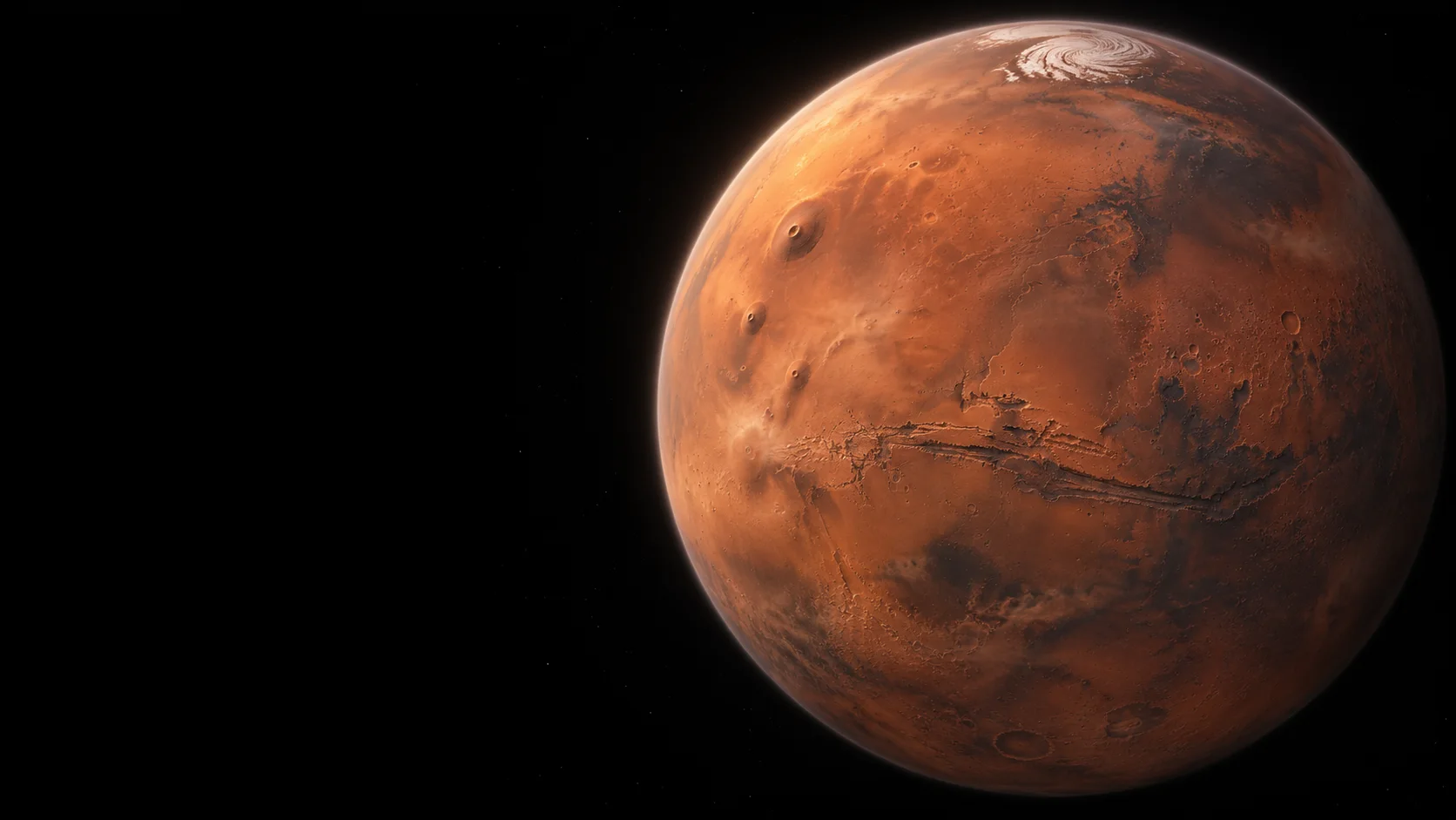
Gale crater, Mars
Concept illustration
The mission
Two routes to
a science stop
On Mount Sharp, low ridges form a pattern called boxwork. In our simulated mission, a crew chooses a route, photographs a ridge and the hollow beside it, and returns to its starting point.
MARSWEAR uses distance and slope to explain the trade-off between the two routes before the crew heads out.
See Curiosity’s boxwork panorama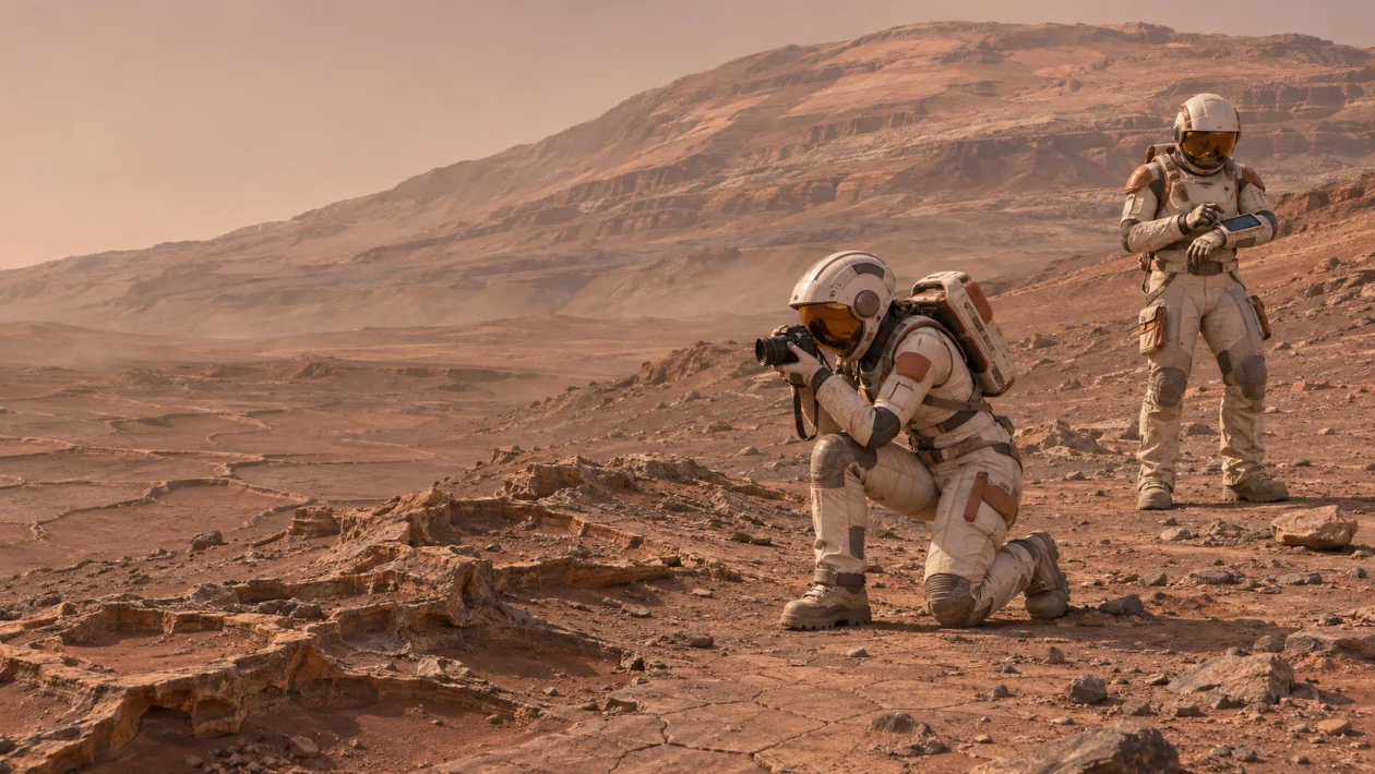
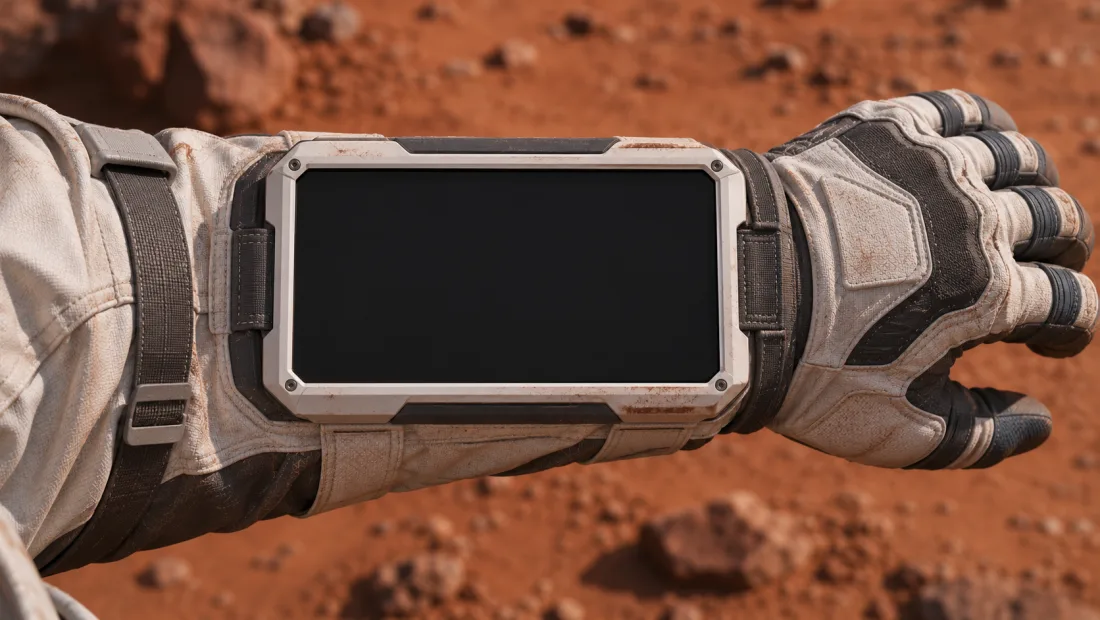
Suit interfaces
From the habitat to the trail
- Habitat map
- Compare the routes before leaving.
- Helmet visor
- See which way to turn at the fork.
- Sleeve display
- Check the map and review what to photograph.
Project status
Prototype in development
Novacent brings together fashion design, interior architecture and product design for the Interplanetary Survival Guide: Martian Map challenge.
We’ll share the route planner and prototype updates here as they become available.
View Novacent’s team profile